Wheelmap: community-powered accessibility tool
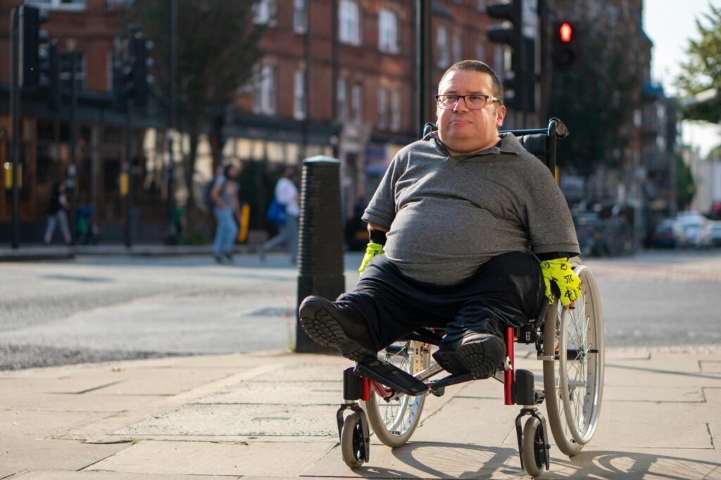
As we wheel and step into 2026, it’s a great moment to look back at how far accessibility has come and, just as importantly, how far we still have to go. For Disabled people, knowing whether a café, GP surgery, shop, or community space is actually accessible can make the difference between confidence and frustration, independence and exclusion.
That’s where Wheelmap comes in.
What is Wheelmap?
Wheelmap is a free, community-powered map showing accessibility of public places. Anyone can use Wheelmap, and anyone can contribute!
It uses a simple traffic-light system, places are marked as:
- Green: Fully accessible
- Amber: Partially accessible
- Red: Not accessible
- Grey: Unknown accessibility
How Wheelmap Began
The idea for Wheelmap started back in 2008 with Raúl Krauthausen and his friend Holger. Like many wheelchair users, they always met at the same café because it was accessible. Elsewhere, accessibility was a constant unknown.
Holger began writing down accessible places in a notebook. Then came a simple but powerful question: What if this information was on a map that everyone could use?
By 2010, Wheelmap was online. It has since grown into the world’s largest map for accessible places, with over 3 million entries worldwide, created by thousands of volunteers.
Why Wheelmap Matters for Disabled People in Surrey
Surrey has a mix of busy town centres, historic high streets, rural villages and newer developments – and accessibility can vary hugely from place to place.
For Disabled residents, Wheelmap can:
- Reduce anxiety about going somewhere new
- Save time and energy by avoiding inaccessible venues
- Support independence and spontaneous travel
- Help carers, friends and family plan inclusive outings
- Highlight gaps where accessibility improvements are urgently needed
New Year, New Resolution: #Fitmappen
To kick off 2026, Wheelmap is encouraging everyone to make “more mapping” their New Year’s resolution. The #Fitmappen campaign invites people to add as many accessibility entries as possible to Wheelmap.
Coalition Member, Ted, frequently submits entries to Wheelmap and has shared with us his experience of using the map and his Wheelmap resolution for 2026:
“I did some of my first Wheelmapping near Astolat around ten years ago including the Burpham Post Office: https://wheelmap.org/node/1102851965. The traffic light rating system is easy to use: green=Great, red =rubbish, and yellow flags that there may be some issues, such as the doorsill in the picture.
During Covid-19 when I had to stay at home, I used Streetview to rate around 700 bus stops in East Surrey.
I generally upload my survey snaps and then do the rating once they have appeared.
My Resolution is to snap and tag at least one location a day on average during 2026, and so far I am well ahead of my target having done 14 new nodes since last Saturday in Reigate alone.”
Ted’s tips for getting started on Wheelmap:
- An easy way to start Wheelmapping is if you travel by bus, look at your local bus stop and where you get off, take a snap for Wheelmap and mark if the bus stops are accessible.
- Good opportunities to take a snap and mark the accessibility are when visiting shops, supermarkets, libraries, community halls and disabled toilets.
- Wheelmap have useful information on their website on accessible toilet advice, you can view this webpage via the following link: Wheelmap_Mapper_Handout_EN.pdf
- When taking pictures for Wheelmap, take them of entrance/exit doors and how they work, shop aisles and if there’s any steps, ramps or lifts inside of the building.
- Make sure to not include any people in the photos otherwise it might get rejected by Wheelmap.
- You can use Wheelmap through their app or website.
- Your photo might not appear straight away on Wheelmap as they will need to approve it, this can sometimes take a couple of days.
Thanks Ted for sharing your Wheelmap story and excellent resolution, along with the useful tips!
How to Take Part
It’s simple, you just need to visit the Wheelmap website to submit your entry: Wheelmap – Find wheelchair accessible places.
Ready, set, #Fitmappen!
Contact Information
Address
Surrey Coalition of Disabled People
Astolat, Coniers Way
Burpham, GU4 7HL